
Winter Camping in British Columbia: Keeping Tabs on Avalanche Ratings Off-Grid
How to get weather and Avalanche Canada danger ratings when you don't have internet
Planning a five-day winter camping trip usually comes with a healthy amount of uncertainty. Once you lose cell service on the Duffey Lake road, you are cut off from standard forecast updates even though alpine conditions are constantly shifting.
Tim from our team headed out for four nights in the snow around Steep Creek and Blowdown Peak to tour different zones. Here is a look at how the trip played out, how the weather threw a curveball mid-week, and how off-grid forecasts helped guide terrain choices.
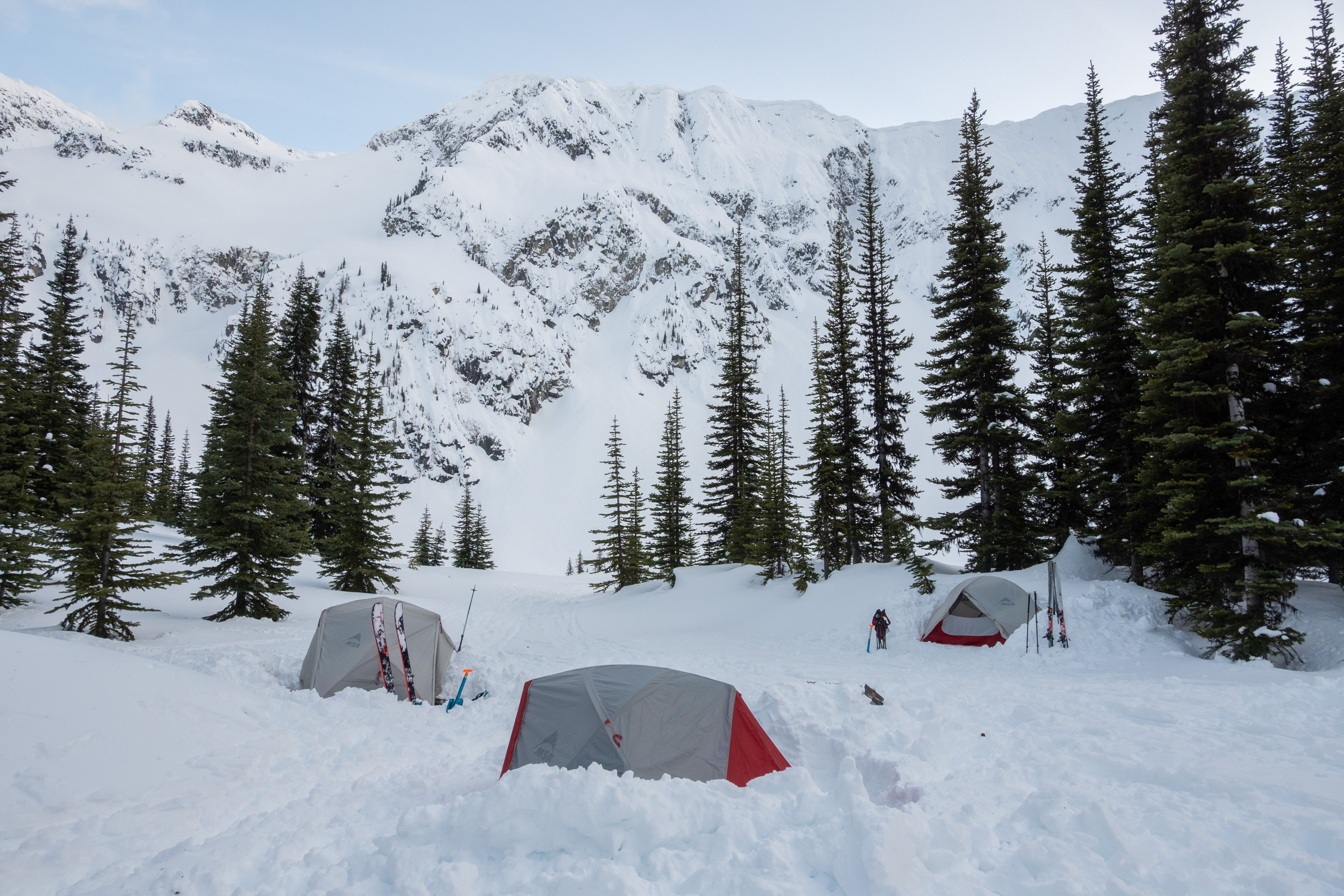
The Plan: Steep Creek and Blowdown Peak
The setup was straightforward: haul in winter camp gear, set up a basecamp, and choose lines day-by-day based on local stability.
The Duffey sits in a transitional zone where wet coastal weather meets colder interior air. Conditions can turn on a dime, so having fresh data matters. During a quick breakfast stop at the Pemberton McDonald's - the last reliable cell signal before the trailhead - a few people in the group set up BoltWX and downloaded the iPhone Shortcut.
The shortcut simply translates raw incoming text updates into the familiar Avalanche Canada visual format, showing danger ratings, problem types and aspects directly on your phone screen without needing data or WiFi.
Days 1 & 2: Smooth Sailing
The first couple of days matched expectations. Temperatures stayed steady, the snowpack was settled, and touring conditions were solid. The crew spent these days touring moderate objectives while keeping up with routine field observations by digging quick hand pits, probing with poles, and tracking surface hoar.
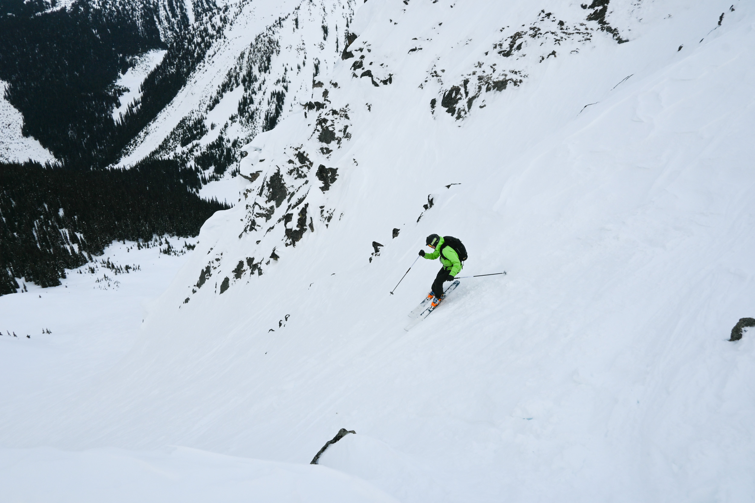
Each evening back at the tents, they sent an SMS query from their satellite messenger to BoltWX to pull updated localized forecasts for their camp coordinates. For the first 48 hours, things remained predictable.
Day 3: Surprise Snow
Morning three brought an unexpected shift. The group woke up to a heavy blanket of new snow and noticeably warmer air - a classic combination for touchy storm slab instability.
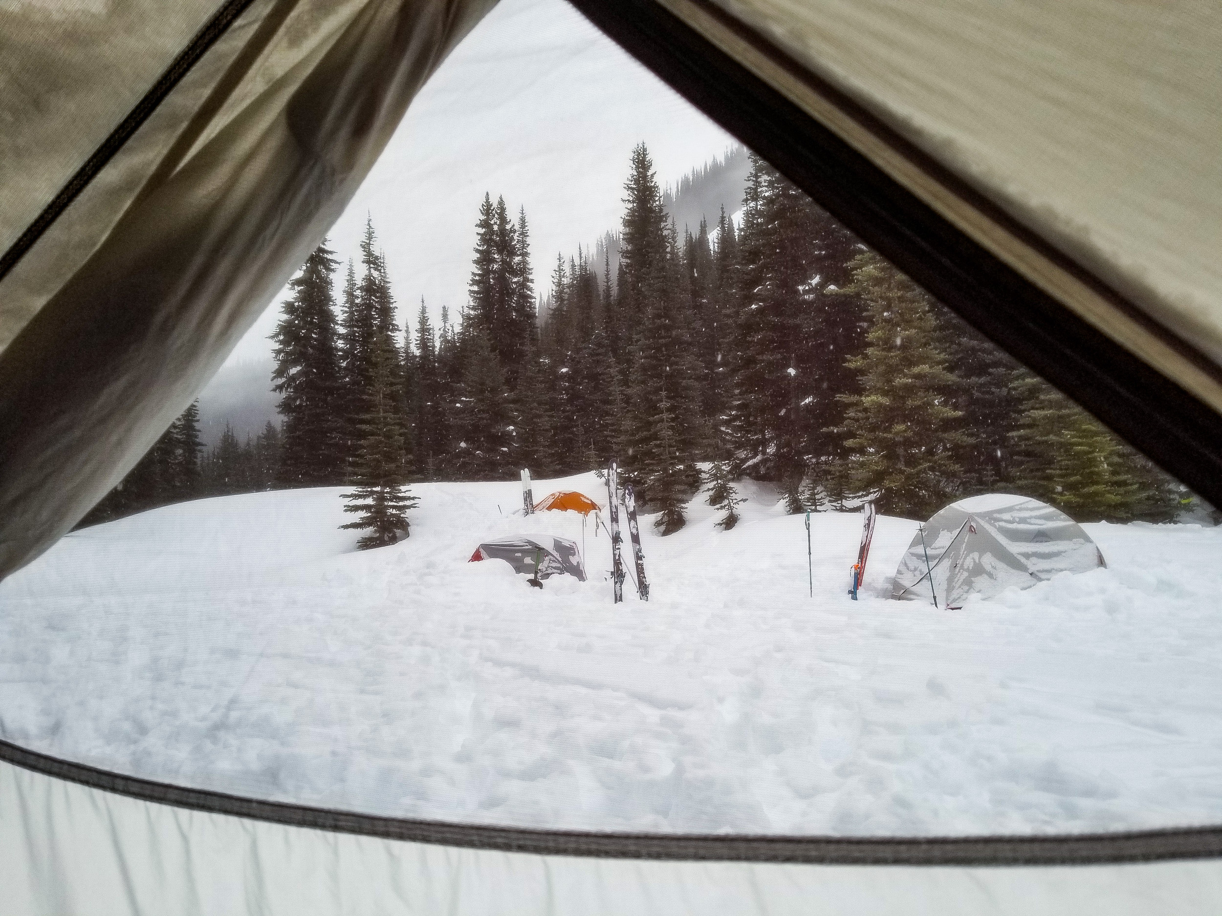
Around the camp stove, opinions naturally differed. Some felt the upper lines might still be fine, while others preferred caution. Without hard data, it is easy for group discussions to lean on guesswork or individual optimism and risk tolerance.
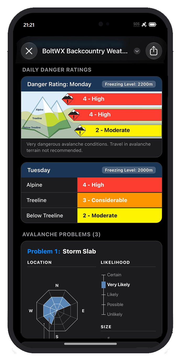
To get a clearer picture, they pulled a fresh avalanche report via satellite. The regional bulletin had shifted significantly overnight and now indicated that danger had spiked to High in the Alpine, High at Treeline, and Moderate Below Treeline, while storm slab and wind slab instabilities were highlighted due to the fresh load and warming trend.
Opening the update in the iPhone Shortcut rendered the standard Avalanche Canada layout immediately. Having an official, updated danger rating on screen helped give everyone the same clear reference point from which to discuss local observations.
Pivoting to Mellow Lines
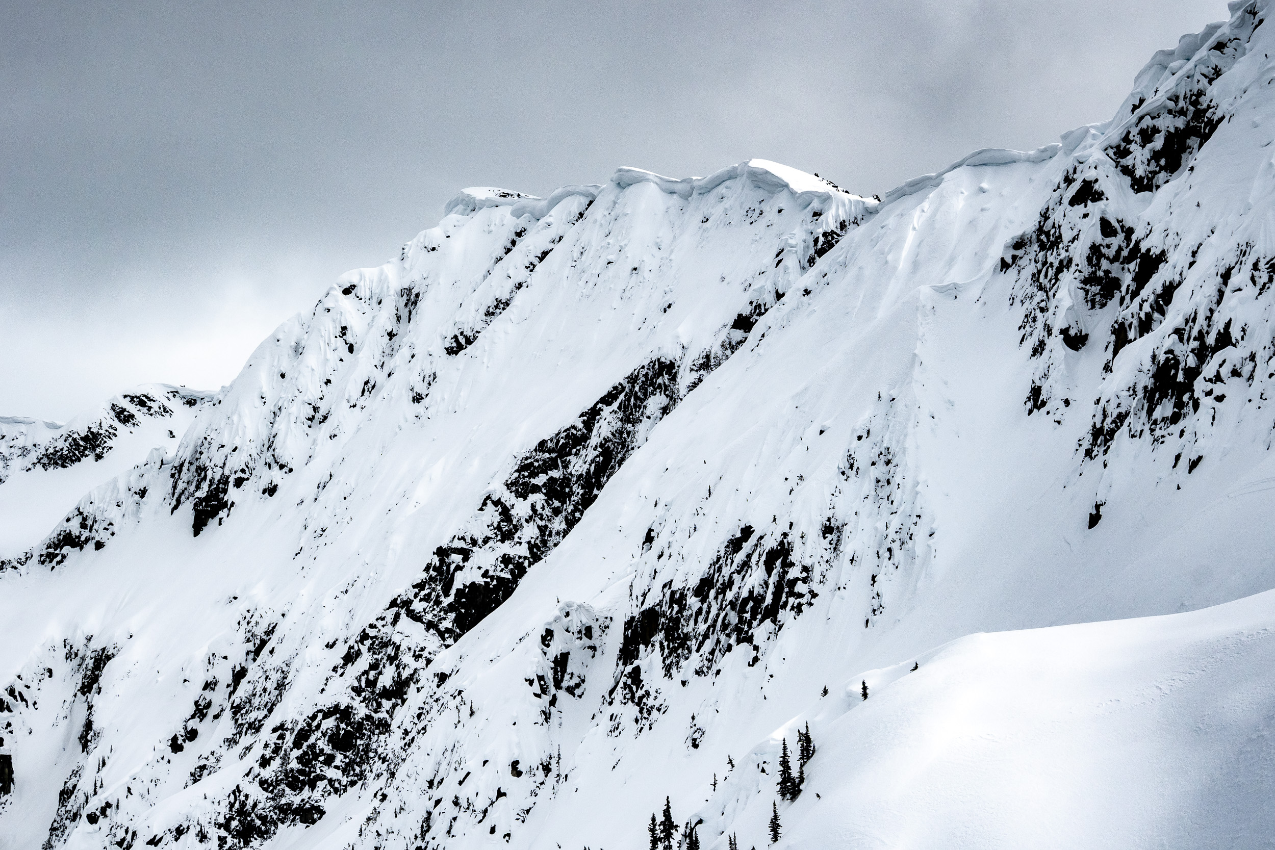
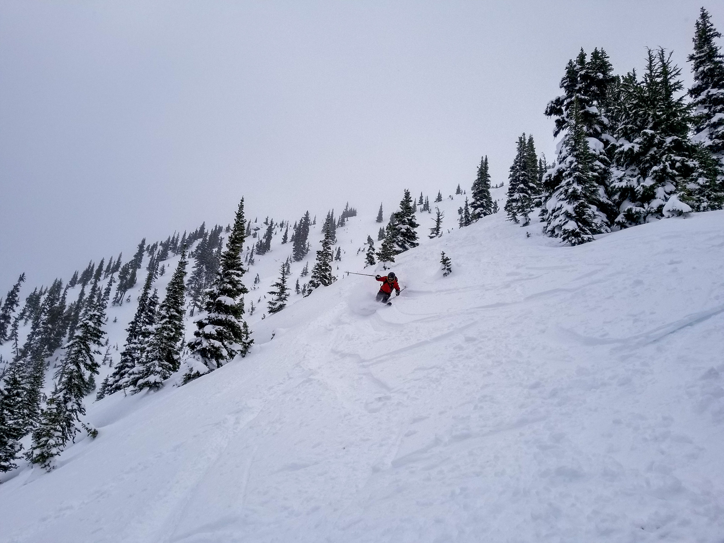
With High ratings across both treeline and alpine, ambitious lines off the higher peaks were off the table for the day. Instead, they adjusted their daily tour plan to stick to lower angle treed areas with lots of islands of safety.
It ended up being a great day of sheltered tree skiing without taking on unnecessary hazard.
You can request official Avalanche Canada and US avalanche danger ratings anywhere by messaging BoltWX with the AVALANCHE keyword (e.g. #ACCESSCODE# AVALANCHE). If you want to check hazard ratings for a different basin, pass, or hut along your tour, simply paste the GPS coordinates from Gaia GPS or CalTopo into your message (e.g. #ACCESSCODE# AVALANCHE (lat, lon)).
Clear Data, Better Group Decisions
Field tests and terrain reading will always be the foundation of backcountry travel. But when you are out for multiple days, pre-trip forecasts quickly go out of date. Having access to current bulletins via satellite simply adds another clear, objective tool to morning route planning, keeping everyone on the same page when the weather turns.
Multi-day backcountry touring is an incredible way to experience winter in the mountains. If you're interested in using BoltWX's avalanche and winter weather features on your next trip, you can learn more here.
Found BoltWX useful in the wild? We’d love to hear about it! Contact us here.
Ready for Reliable Backcountry Weather?
Get specialized forecasts delivered straight to your Garmin inReach, ZOLEO, Bivy Stick, or satellite-enabled smartphone when you're off the grid.